David Petchey
davidpetchey@gmail.com
Currently focused on 3D AI, compact language models, a rapid model prototyping & validation AI SDK,
real-time streaming of 3D content rendered in-browser, and robotics.
This page is a work in progress — a live sandbox for advanced browser features. I update it when time allows, using it to showcase my background in graphical systems through interactive, animated elements. Most visuals respond to clicks, revealing alternate views or deeper layers. Offering a hands-on look at the work behind the resume.
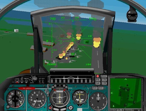
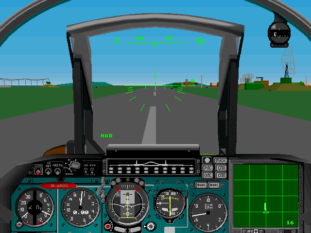
Note: These emulated titles are pulled directly from the original CD-ROMs. Clicking one captures your mouse and keyboard—press Esc to release.
TEXT
ART
PROJECTS
ART
PROJECTS
 Mindscape (1992-1996)
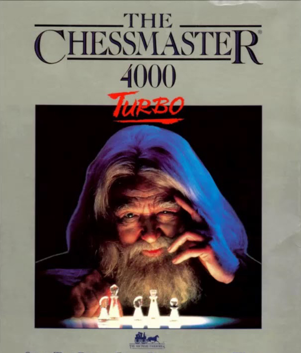
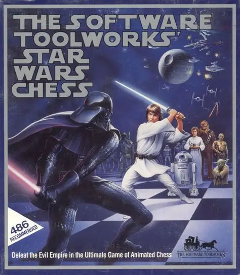


Click on the Apple to start then click on the rooms pond or forest and type the letter
aRt&D
3D/Audio Hardware, Firefightering Games in Trouble, Porting Games to Windows 95, 3D Engines


Chromeeffects Internet Explorer 4

After the successful launch of DirectX, a collection of advanced multimedia and high-level
3D technologies were left orphaned. These components were unified under a new initiative
called Chromeffects, designed as an in-DOM extension to Internet Explorer 4. Our team was
contracted to create demonstration web pages showcasing its capabilities. The video above
features those example pages, compiled into a single demo reel.

Engineered low-level DirectX bindings for Microsoft Java, Visual Basic, and .NET via ActiveX.
Bridging high-performance multimedia APIs with managed runtimes.
Enabled seamless access across language boundaries,
and facilitating real-time graphics in Internet Explorer

Developed the DirectX 8 specification for DirectSound and extending the legacy MIDI 1.0 codebase
to implement MIDI 2.0. Introduced multi-track audio streaming and multi-track mixing capabilities
to DirectSound, enabling more sophisticated and synchronized audio playback

Developed Web Driver 1.0, a 3D engine that allowed the creation of 3D games in a web browser

QubeSoft was a 3D engine company founded by members of the original Rendermorphics
team, the creators of the technology that was acquired by Microsoft to become the
foundation of Direct3D. Once the golden handcuffs came off, the team regrouped to
build a new, next-generation 3D engine from the ground up.
Developed XWeb an HTML renderer, based on Qube3D, forget the DOM’s layout rules. Let’s treat HTML like a scene graph. 3D layout engines get away with more consistent behavior. they lean on transforms and composition, not cascading styles.
Developed XWeb an HTML renderer, based on Qube3D, forget the DOM’s layout rules. Let’s treat HTML like a scene graph. 3D layout engines get away with more consistent behavior. they lean on transforms and composition, not cascading styles.

Developed eScene - Emergency Situational Awareness System
As CTO at Planet 9 Studios, I developed eScene to host massive 3D cityscapes—10M+ polygons
active per view. Delivered real-time situational awareness with 1m accuracy,
tracking people and assets against imagery sharp enough to hold up under full zoom.
eScene - Washington DC Database

 In 2003, Planet 9 was invited by the U.S. Army and Boeing to participate in a series of demonstrations and trials aimed at testing radio-based tracking systems for dismounted soldiers operating in urban terrain—both indoors and outdoors.
As part of the effort, Planet 9 was tasked with:
In 2003, Planet 9 was invited by the U.S. Army and Boeing to participate in a series of demonstrations and trials aimed at testing radio-based tracking systems for dismounted soldiers operating in urban terrain—both indoors and outdoors.
As part of the effort, Planet 9 was tasked with:🡺 Integrating eScene into the McKenna MOUT command center
🡺 Providing a geo-rectified 3D model of McKenna MOUT with 10cm accuracy, including full building interiors
🡺 Delivering a tracking server and recording system for verification and analysis
🡺 Integrating each radio system’s packets into the tracking server, targeting 30cm positional accuracy
eScene - Measured 1m Target Radius


Zooming in sounds simple—until you try it. At a few meters out, icons become smaller than the soldiers they’re meant to represent, and scaling them leads to absurdities: a waypoint marker the size of a building when zoomed out, or a tracked “dot” that’s somehow smaller than the boots it’s tracking.
The real issue? Human-scale fidelity demands human-scale data. When tracking soldiers at sub-meter precision, abstract icons just don’t cut it. You need full 3D models—pose-aware, context-sensitive, and visually coherent across zoom levels. So yes, we built them. Because once you zoom in far enough, the UI stops being symbolic and starts needing to be literal
The real issue? Human-scale fidelity demands human-scale data. When tracking soldiers at sub-meter precision, abstract icons just don’t cut it. You need full 3D models—pose-aware, context-sensitive, and visually coherent across zoom levels. So yes, we built them. Because once you zoom in far enough, the UI stops being symbolic and starts needing to be literal
eScene - Outdoor Tracking

eScene - Indoor Tracking


Ft. Benning - Mckenna MOUT
The McKenna Military Operations in Urban Terrain (MOUT) site is a purpose-built urban village constructed by Army Engineers for combat training at Fort Benning, Georgia. The facility is fully instrumented with live indoor/outdoor video, comprehensive network coverage, and wired access throughout. McKenna MOUT is primarily used for live, virtual, and experimental testing of soldier systems, weapons, and equipment in real time.
eScene - McKenna Database


Built a highly accurate 3D model database of McKenna MOUT, with full interior layouts for all buildings. Precision was critical, as all tested radios reported positions in meters relative to a known reference point. Since the validation aimed for sub-meter accuracy, the georeferencing of the 3D data had to be better than 10cm. Only the GSM-based radios produced latitude/longitude coordinates.

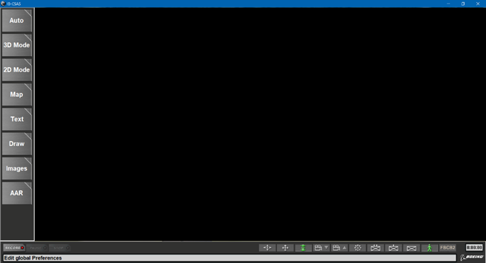
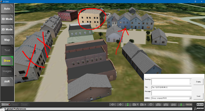
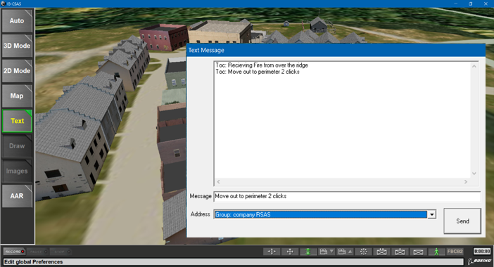
IB-CSAS
Integrated Battlespace Combat Situational Awarenss System
IB-CSAS
Integrated Battlespace Combat Situational Awarenss SystemTest Results

All radios failed to reach deployable status except for the Benefon Cellphone + GPS/GSM Base Station (BTS). While it lacked indoor or through-wall tracking, the system held up well outdoors and around buildings. One could infer if a soldier had entered a building based on the last GPS fix before signal loss. Despite losing GPS, the GSM/SMS/IP connection remained intact, allowing data and text messages to continue transmitting.
The Spread Spectrum Radio System worked through walls and achieved ~30cm accuracy. However, it required an implausible 12 static reference nodes to get a reliable fix, and the calculation time was so slow that soldiers had to walk at a painful snail’s pace between waypoints. This radio was not going to become a combat-ready system anytime soon.
We also experimented with RFID tracking, but it proved ineffective. The interrogator required line-of-sight, severely limiting the system’s utility. Additionally, the short range between tag and interrogator made this technology implausible for combat scenarios at the time.
Several attempts were made to use Wi-Fi for positioning. There was some success when hardware was specifically tailored for the task. However, off-the-shelf Wi-Fi is inherently non-mobile. Specialized devices would need to be manufactured to make it viable as a tracking system. One particularly ambitious attempt came from a math genius who made significant modifications to Loran-C, but tried to measure the speed of light over Wi-Fi using Windows laptops—predictably resulting in position fixes somewhere near the orbit of Mars.
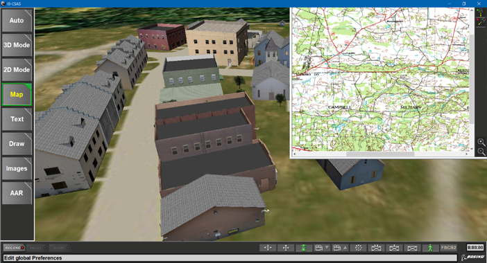
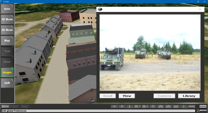
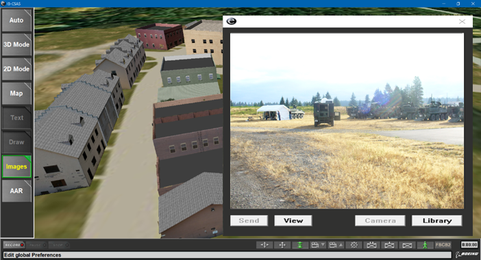
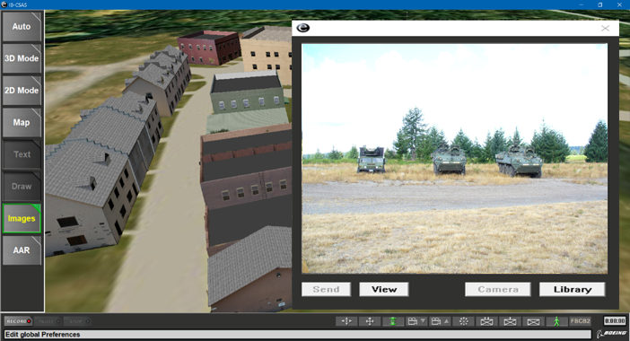
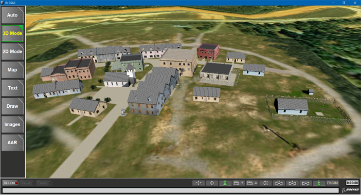
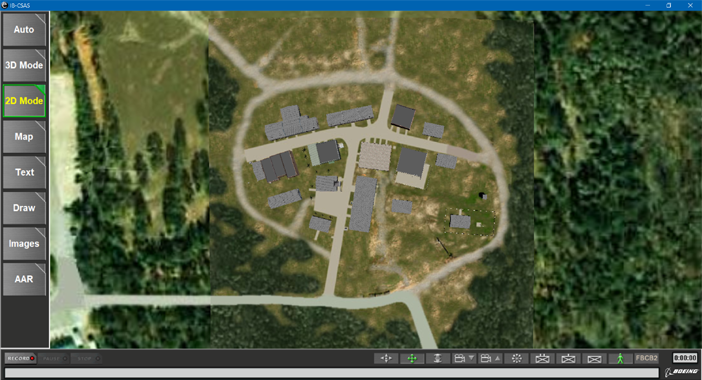
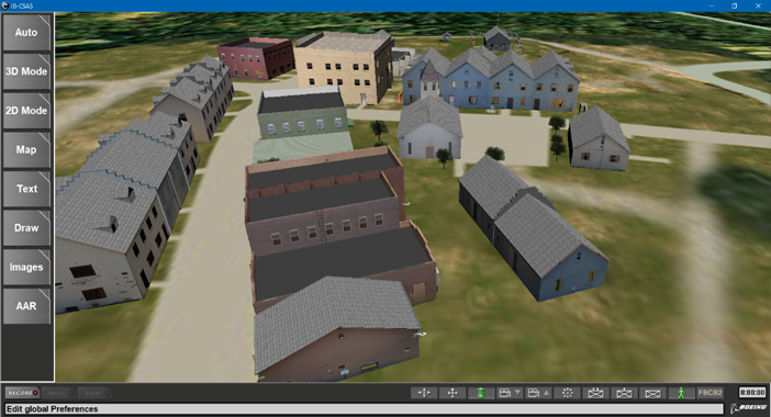
IB-CSAS
KU-BAND => IP
L-BAND => IP
L-BAND => FBCB2-BFT IP/JVMF
SMS => TEXT/BML - (BML: Binary XML)
After Action Review (AAR)
L-BAND => IP
L-BAND => FBCB2-BFT IP/JVMF
SMS => TEXT/BML - (BML: Binary XML)
After Action Review (AAR)


Embedded with 101st & 10th Mountain in pre-deployment readiness tests in
realistic battle with simulated combat. The 10th Mountain had over 1800 troops
in it's rotation. We where embeded and part of exersise This was as close as one could get to real combat testing of the IB-CSAS system.
If the troops passed, they would imediately deploy to Iraq or Afganistan.
Ft. Campbell - Cassidy MOUT
101st Assualts & Captures Cassidy MOUT in 3 mins

written device drivers
board brings ups tracking server mobile apps
board brings ups tracking server mobile apps
A25

A28


web map
3D map
Mission Planning
3D map
Mission Planning


The Predator Arm


eRabbit (alpha)


